Malta in 4 Days With a Day on Gozo: Car, Ferry and Route
Four days in Malta: Valletta on foot, Mdina and Dingli by car, a day on Gozo via the Ċirkewwa ferry, then the south coast. Distances and fares.
Four days gives you Valletta on foot, the old capital of Mdina with the west-coast cliffs, a full day on Gozo and the south coast, in a loop that covers 114 km between stops, plus the evening drives back to Valletta. We recommend a hire car for days 2 to 4 and no car on day 1, and the south coast on day 4 is the day that’s hardest without one. Before booking, our Malta before-you-go checklist has the two passport dates to check and which month suits what.
The four days in one table
Distances and times come from the OSRM road router (the open routing engine built on OpenStreetMap data), run on 16 November 2026 between the stop coordinates. They are driving time without stops or traffic, and for the ferry crossing the route uses the operator’s figure rather than the router’s.
| Day | Plan | Drive from Valletta |
|---|---|---|
| 1 | Valletta on foot | None |
| 2 | Mdina and Dingli Cliffs | 33 km, 43 min |
| 3 | Gozo: Victoria, Ġgantija, Ramla | 28 km, 36 min each way to Ċirkewwa, plus 20 km on Gozo and the ferry |
| 4 | Ħaġar Qim, Blue Grotto, Marsaxlokk | 39 km, 57 min |
Between the stops on the map the line is 114 km; the days in the table add up to more, because each evening ends in Valletta, which the map doesn’t draw. Nothing here is a long drive: the run to the Ċirkewwa ferry is 28 km.
Day 1: Valletta on foot
Start on a weekday, because St John’s Co-Cathedral is closed to visitors on Sundays and public holidays. The cathedral guide has the hours, the ticket and how to see the Caravaggio paintings without being caught by the 16:00 last admission, and Valletta’s own page goes from the bastions to the evening.
Don’t collect the car today: nothing in the city is easier with one, and cars driving into Valletta on a weekday before 14:00 fall into a camera-run charge zone. Walk: you’re sleeping in Valletta all four nights, so day 1 starts at the hotel door. If you’re keeping the car for days 2 to 4, ask the hotel before you book where it can stay overnight.
Day 2: Mdina and Dingli Cliffs
Collect the car in the morning, and take the road west. Mdina is 13 km from Valletta, about 17 minutes by the router. The national tourism authority describes it as one of Europe’s finest examples of a walled city, a mix of medieval and Baroque, lit by lamps at night and known as the silent city. It’s small, so allow a couple of hours and walk it.
From Mdina the cliffs are 4 km and about 6 minutes. Dingli Cliffs make a good afternoon stop for the open view over the sea, and they cost nothing. The day’s round trip from Valletta is 33 km and 43 minutes of driving, so you have plenty of time to spare, and that is the point: this is the easy day, and it lets you get used to the left-hand traffic before the longer days.
Day 3: Gozo
This is the day to leave early. The drive from Valletta to the Ċirkewwa ferry terminal at the northern tip of Malta is 28 km and 36 minutes. Gozo Channel’s car ferry to Mġarr takes about 25 minutes and runs daily on a timetable that changes with the season. Check the departure times on the operator’s site the evening before.
What the ferry costs matters to the car decision. A car and driver is €15.70 for the return and an adult on foot is €4.65, both on the operator’s fare pages on 16 November 2026. For a solo traveller the car costs €11.05 more than walking on, so it has to earn that by taking you to Ramla and the temples when you choose: route 322 from the Mġarr quay calls at Ramla and Xagħra too, but on 16 November 2026 it left the quay only every 90 minutes. With more people the gap stays €11.05, because Gozo Channel’s standard passenger fare of €4.65 applies to all passengers, so you split it; the car hire guide lists the passenger fares beside the car fare. You settle the car’s ticket at the Mġarr booths before you sail back if you haven’t bought it online, and the hire contract decides whether the car may board at all.
On Gozo the plan runs in one direction:
- Victoria and the Cittadella. From Mġarr it’s 7 km and about 12 minutes to Victoria, the main town, with its citadel on the hill.
- Ġgantija Temples. 3 km and 5 minutes on. Heritage Malta describes two Late Neolithic structures built between 3,800 and 2,000 BC. Its page shows a combined ticket with the Ta’ Kola Windmill at €10 for adults, and it posts one-off closure days there, so look at the opening hours for your date before you go; the Ġgantija guide has them by season.
- Ramla Bay. Another 3 km and 5 minutes to the beach, which is where you sit down at the end of the day. Our beach guide has the island’s other shores if Ramla is busy.
The loop on Gozo comes to 20 km and 33 minutes at the wheel, so the island itself is not the constraint; the ferry timetable is. Aim for the ferry back with time to spare, and let the Gozo guide tell you what you’re leaving out: the day shows one corner, not the island. If you’d rather spend Gozo underwater, our diving and snorkelling guide covers the shore sites and how to book a centre.
Day 4: the south coast
Day 4 starts in Valletta again. Ħaġar Qim is 15 km and 20 minutes from the capital, and the Blue Grotto, at Wied iż-Żurrieq, is 2 km after it. Do the temples first and then the sea caves, and keep the afternoon flexible. Heritage Malta runs the temples, and our Ħaġar Qim and Mnajdra guide has the ticket, the hours and the walk between the two.
From there Marsaxlokk is 12 km and 17 minutes away, and the harbour makes a good evening; our guide to Maltese food has the fish dishes to look for there. It’s 10 km and 15 minutes back to Valletta, so you can stay for dinner and still return the car the same night. The day adds up to 39 km and 57 minutes of driving.
If you only have three days
Drop day 2. Mdina and the cliffs are the gentlest day of the four and the easiest to lose, and the car then only needs to be on the road for days 3 and 4. You lose the quiet old capital, so if that’s what you came for, drop the south coast instead and keep the temples for a return visit. Gozo stays in either version, because it’s the one day that changes the shape of the trip. With a week instead, our one-week route adds two nights on Gozo and a booked Hypogeum slot.
If you don’t want a car
You can do days 1 and 2 on buses, and on Gozo as a foot passenger with the island’s buses: route 322 runs from the Mġarr quay to Ramla and Xagħra, and the Gozo guide has the other routes. Where it goes wrong is day 4. The south-coast stops are far apart and off the main bus corridors, and this is our judgement rather than a timetable fact, so check the routes before you decide. If you have no car, swap day 4 for a second city day or a boat trip from Valletta.
If the weather turns
The Gozo ferry depends on the sea. A wet or rough day is a day for Valletta’s museums and churches, or for the Ħal Saflieni Hypogeum if you’ve managed to book it: swap day 1 and day 3, or day 1 and day 4, and the car days wait until it clears. Everything on day 2 works in grey weather, apart from the view at the cliffs.
The route day by day
- Days
- 4
- Distance
- ≈114 km
The route at a glance
-
Valletta
Start of the routeDay 1 on foot; the base for all four nights.
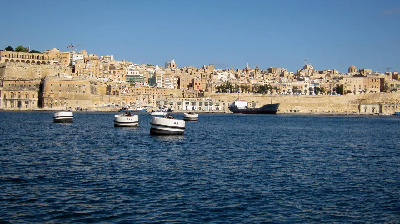
Photo: “Valletta vom Grand Harbour aus gesehen. - panoramio”, Martin Furtschegger / Wikimedia Commons, CC BY 3.0 ( source) -
Mdina
13 km from the startDay 2: the walled old capital, 13 km from Valletta.
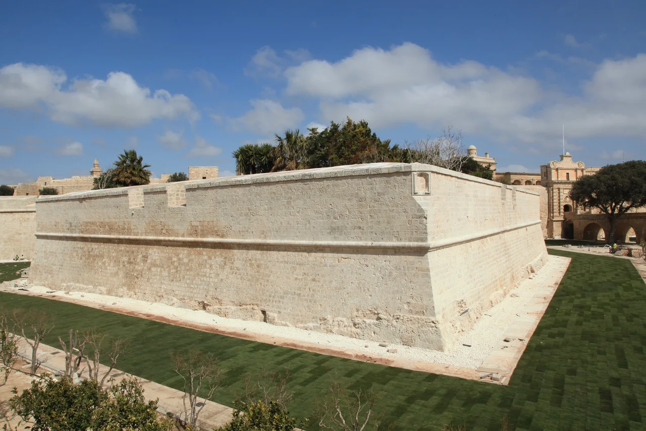
Photo: “Malta - Mdina - City wall+ditch 01 ies”, Frank Vincentz / Wikimedia Commons, CC BY-SA 3.0 ( source) -
Dingli Cliffs
17 km from the startDay 2: the west-coast cliffs, 4 km from Mdina.
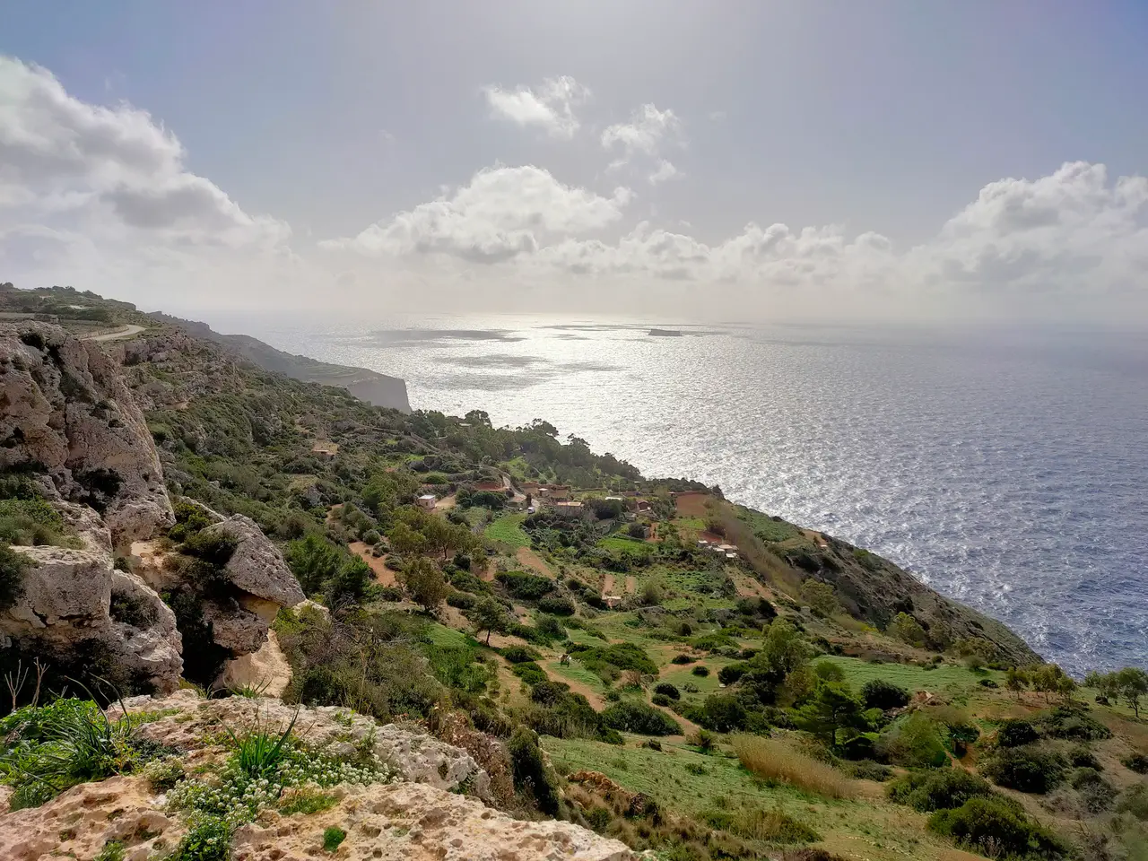
Photo: Christian Formosa / Wikimedia Commons, CC BY-SA 4.0 ( source) -
Ċirkewwa ferry terminal
39 km from the startDay 3: Gozo Channel car ferry, about 25 minutes to Gozo.
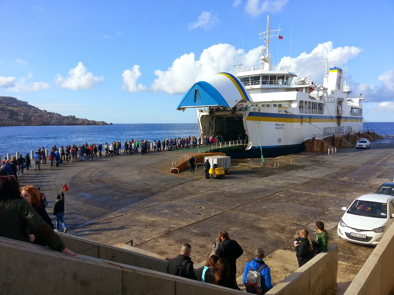
Photo: “Cirkewwa Ferry Terminal ^2015 - panoramio”, Yuri Raysper / Wikimedia Commons, CC BY 3.0 ( source) -
Mġarr, Gozo
48 km from the startDay 3: the ferry arrives here.
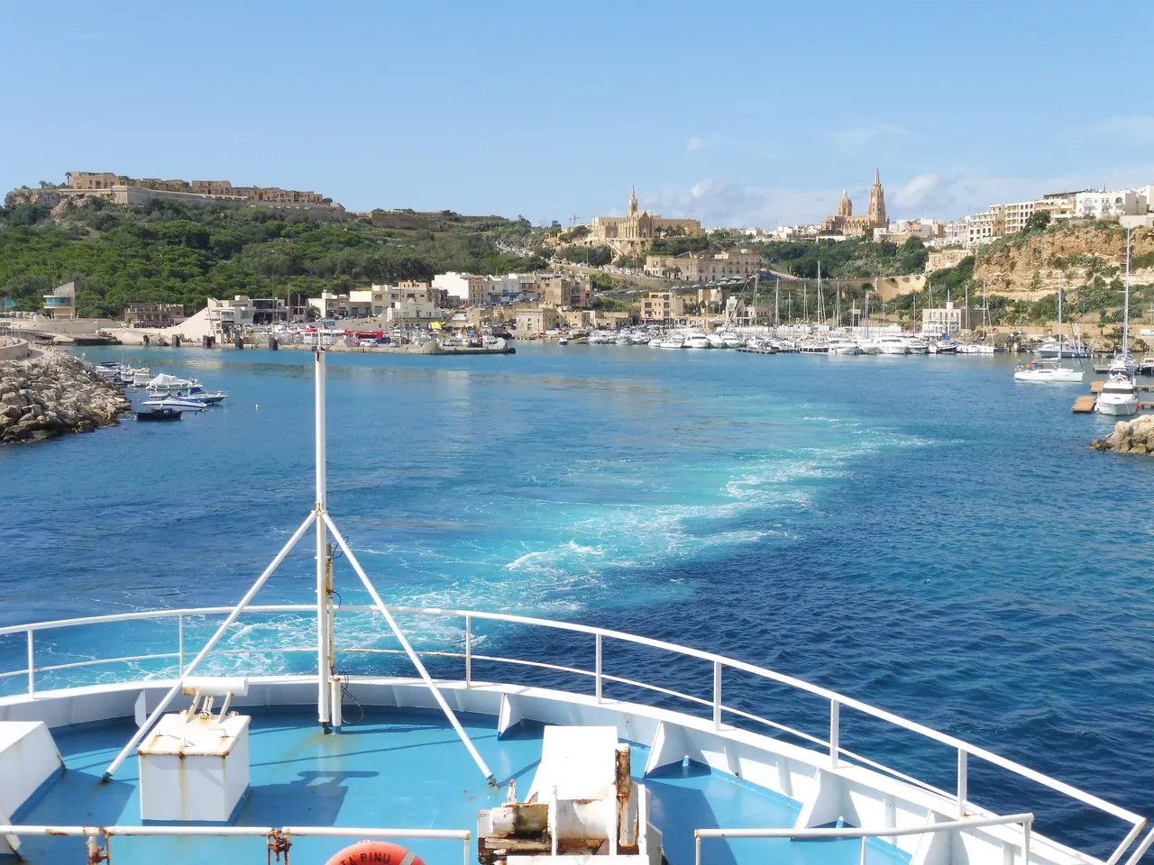
Photo: HH58 / Wikimedia Commons, CC BY-SA 4.0 ( source) -
Victoria (Cittadella)
55 km from the startDay 3: the main town of Gozo and its citadel.
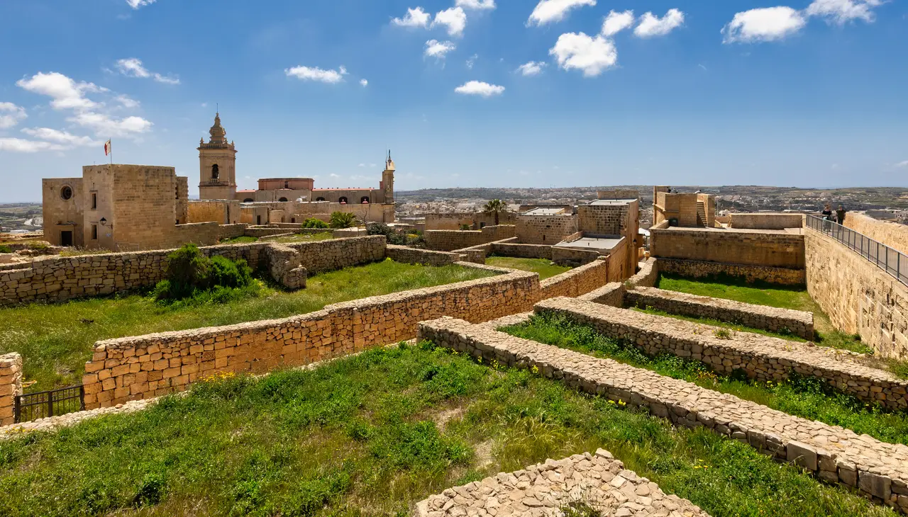
Photo: Joseph Amodio / Wikimedia Commons, CC BY-SA 4.0 ( source) -
Ġgantija Temples
58 km from the startDay 3: prehistoric temples, 3 km from Victoria.
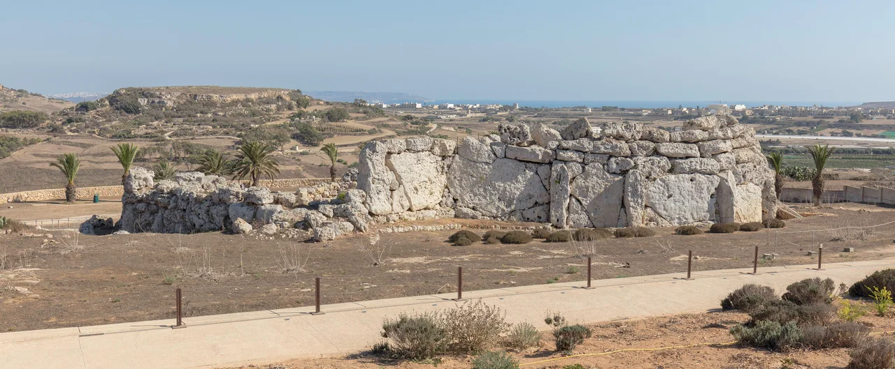
Photo: Diego Delso / Wikimedia Commons, CC BY-SA 4.0 ( source) -
Ramla Bay
61 km from the startDay 3: the beach for the end of the Gozo day.
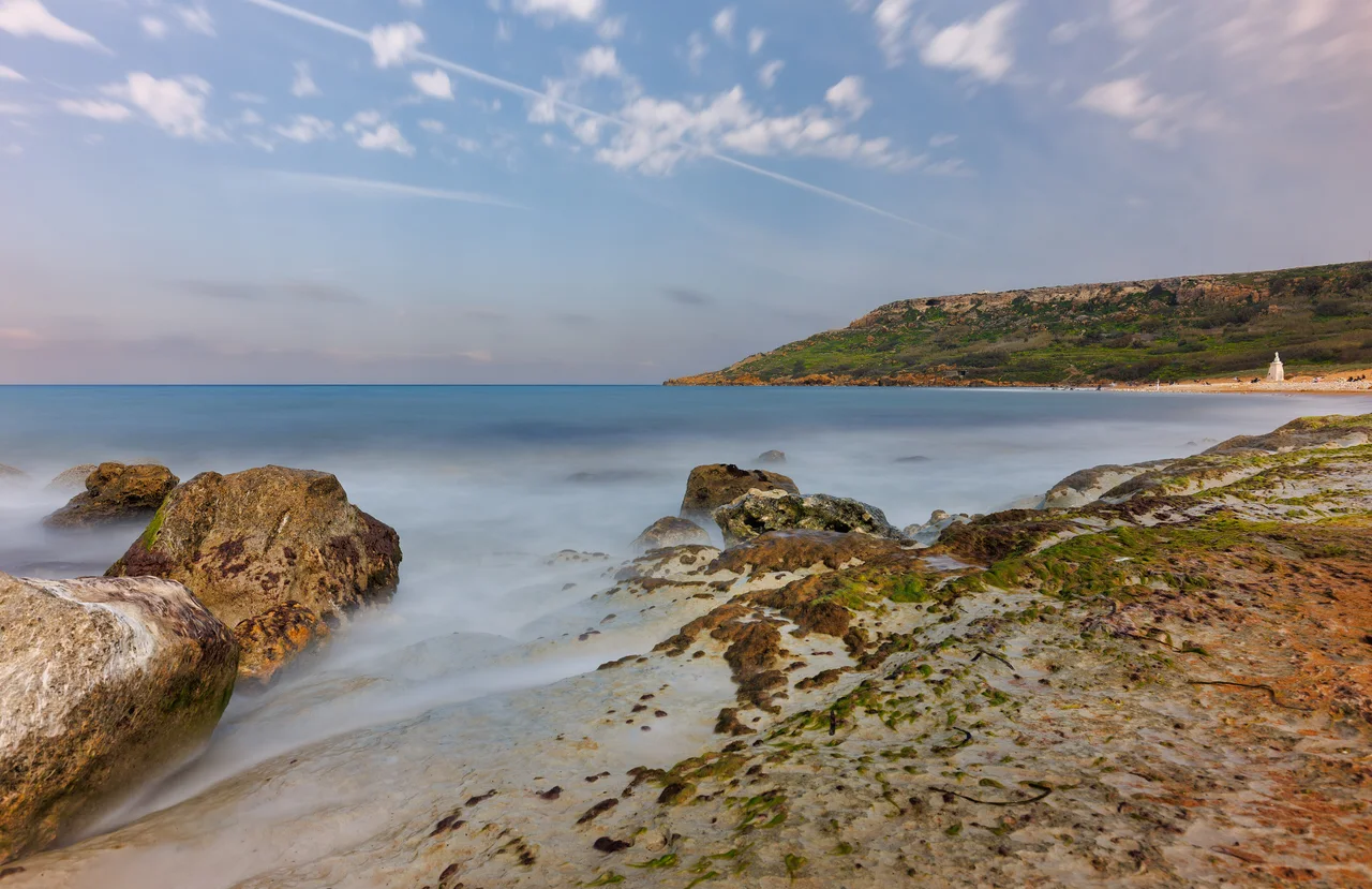
Photo: JosephAmodio / Wikimedia Commons, CC BY-SA 4.0 ( source) -
Ħaġar Qim
100 km from the startDay 4: temples on the south coast, after the ferry back.
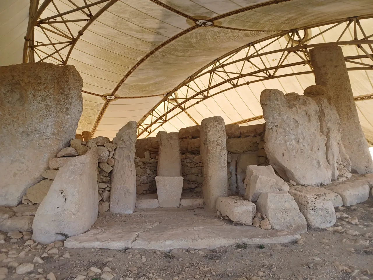
Photo: Simon Burchell / Wikimedia Commons, CC BY-SA 4.0 ( source) -
Blue Grotto
102 km from the startDay 4: the sea caves on the south coast, 2 km after Ħaġar Qim.
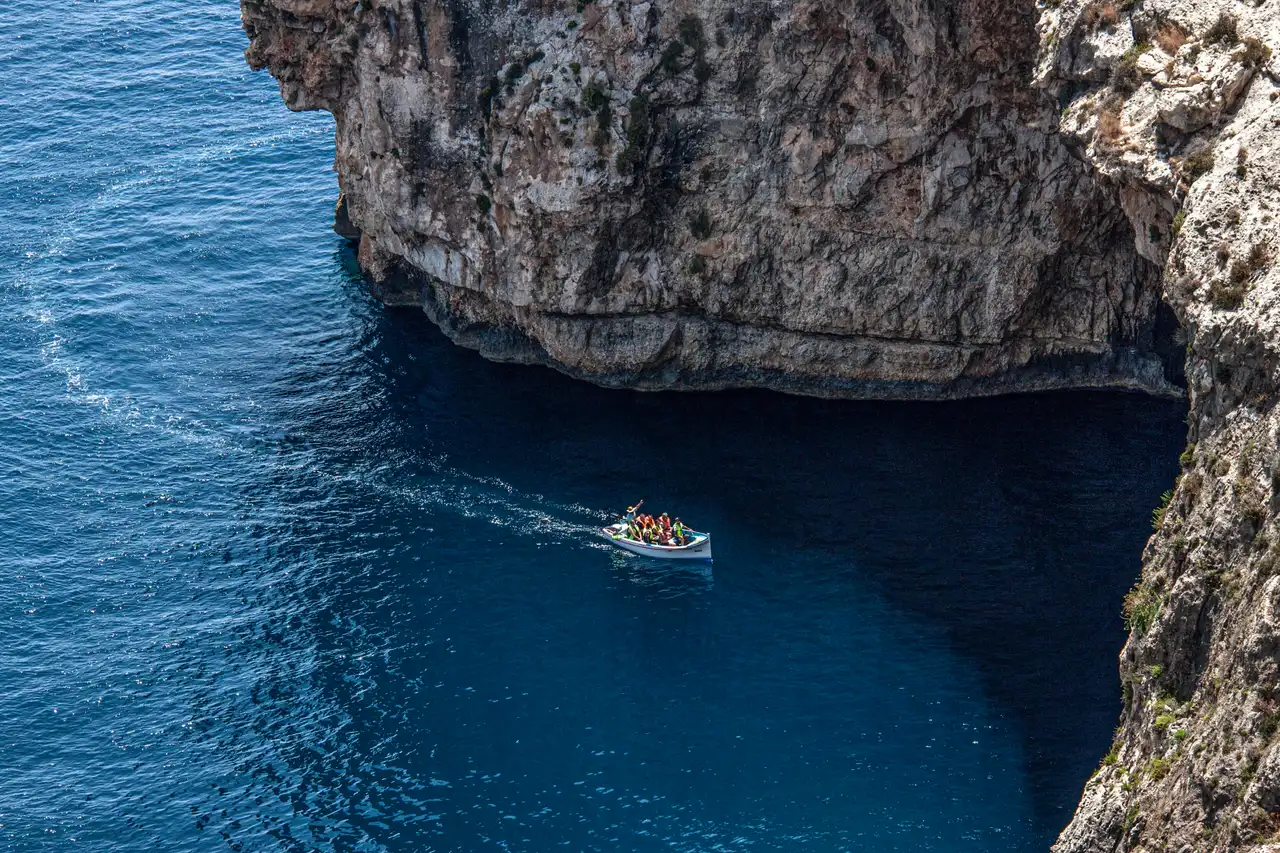
Photo: Noport / Wikimedia Commons, CC BY-SA 4.0 ( source) -
Marsaxlokk
114 km from the startDay 4: fishing harbour for the evening.
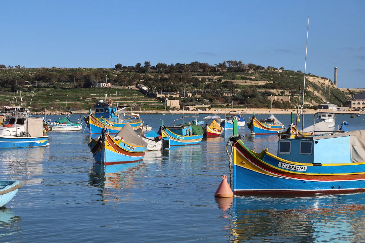
Photo: Andrzej Otrębski / Wikimedia Commons, CC BY-SA 4.0 ( source)
Route map
The map with the stops loads on click, to keep the page light.
The map didn’t load. Check your connection and refresh the page.